

Green Economy in the Heart of Borneo – Integrating conservation, economic development and well-being of communities across the Heart of Borneo

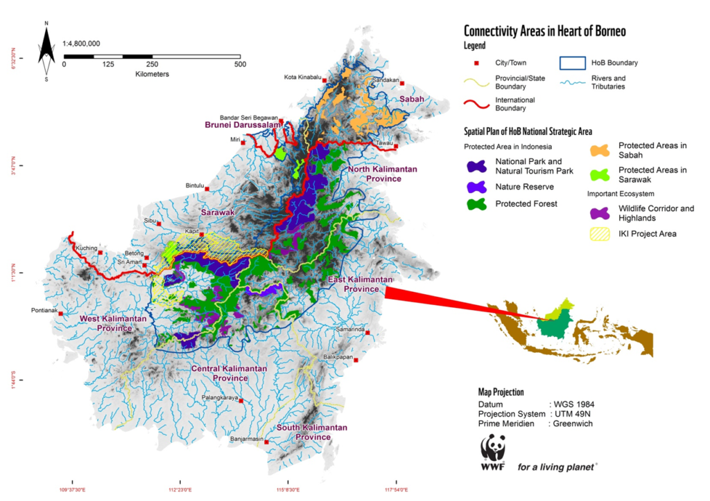
The Heart of Borneo (HoB) corridor is a 22-million hectare landscape of forests that are home to a diverse group of wildlife species such as Orang Utan, Clouded Leopard, Pygmy Elephant and Sumatran Rhino. The corridor aims to create an ecological link between protected areas in Brunei Darussalam, Malaysia and Indonesia. The HoB corridor is one of WWF’s global priority conservation areas, and an important socio-economic development area for local and indigenous people.
The project will be developed within a two-million hectare site, spanning from Northwest Kalimantan to central Sarawak. The project is funded under the International Climate Initiative by the German Federal Ministry for the Environment, Nature Conservation and Nuclear Safety.
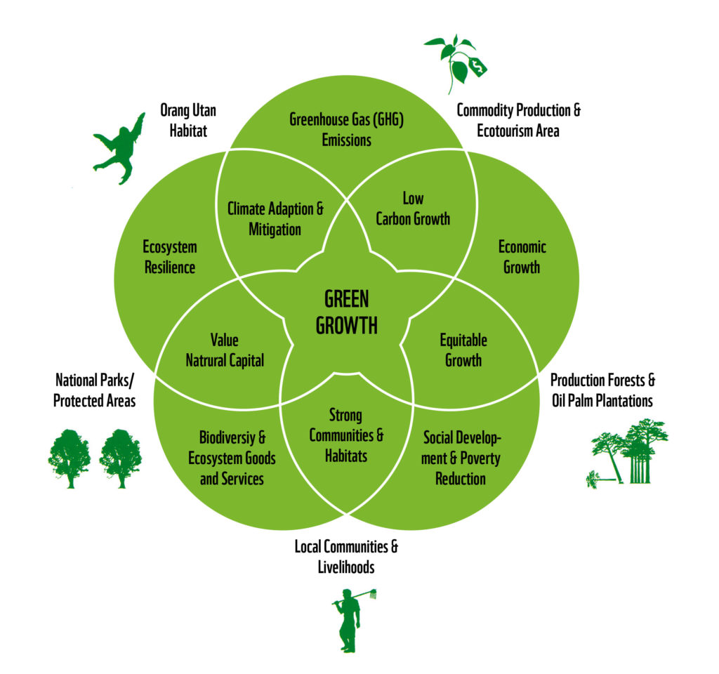
The project aims to pilot the development of a green economy land use and management plan, which promotes environmentally-friendly economic growth within the HoB Corridor.
The project’s four major deliverables are:
- A green economy land use and management plan that has been accepted by government authorities;
- The palm oil and timber sectors in the region have an increased awareness and capacity to adopt environmentally-friendly business practices;
- Local communities are empowered to co-manage natural resources in a sustainable manner and according to the green economy concept;
- The development of green economy land use and management plans can be replicated across the HoB, particularly in conservation areas that are of critical importance to the international community.

Project benefits
The project aims demonstrate how sustainable economic development can be integrated with conservation, and ultimately generate economic, social and environmental benefits within the HoB corridor.
The project is also expected to contribute to all five pillars of the HoB Action Plan, as endorsed by the Malaysian and Indonesian governments. The HoB management pillars include: transboundary management; protected area management; sustainable resource management; ecotourism; and capacity building.
First phase of the project

The first phase of the project involves identifying the natural and social capital of the project area, and engaging stakeholders in a landscape approach planning process.
The first phase in Sarawak will include:
- a natural capital assessment, including a detailed biodiversity survey, of the Balleh and Song Katibas regions
- a social impact assessment of the Song Katibas region
- ongoing stakeholder engagement to build support for the landscape approach planning process
The first phase in West Kalimantan will include:
- a high level natural and social capital assessment of the Kapuas Hulu region
- the conceptual development of an Agropolitan land use plan for the Kapuas Hulu region (the Agropolitan concept involves land use planning for sustainable agriculture and biodiversity conservation)
- ongoing stakeholder engagement to build support for the Agropolitan land use plan planning process
Second phase of the project
The second phase of the project will involve significant spatial analysis and stakeholder consultation to develop a green economy land use and management plan.
Throughout the project, WWF will work with local governments and communities to promote sustainable palm oil and timber production, and increase the capacity of local communities to sustainably manage natural resources.
HoB project area

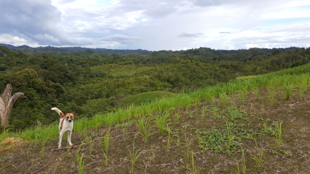
HoB Landscape, Ta Ann, Sarawak. Z Chan
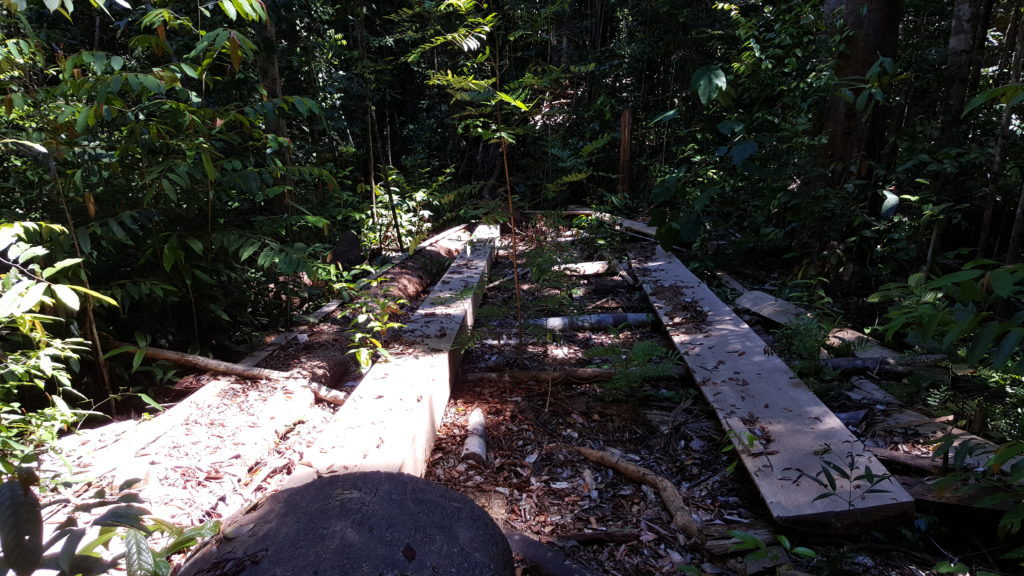
Small scale timber production, Batang Ai, Sarawak. M Sedgwick
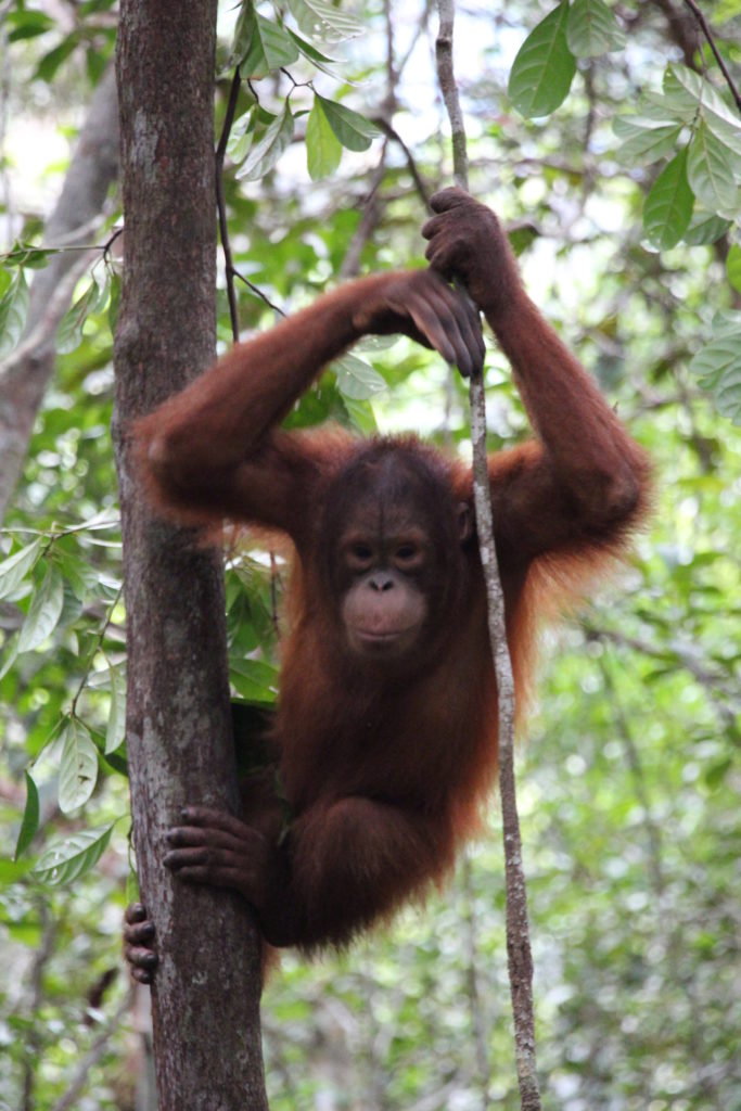
A young orangutan, Sarawak. Z Chan

Orang Utan survey 2, Sarawak. L Haqeem
What is an Agropolitan Area?
An Agropolitan Area is a mature spatial planning concept, which re-emerged as a potential land planning solution in the late 1970’s. An Agropolitan Area is a region designed to incorporate villages, agricultural production and natural resource management. The area is designed to allow population growth, stimulate rural economies and decentralise urban areas.
Agropolitan Areas are a popular land use planning model in Indonesia, and the Indonesian government formally develops Agropolitan strategic zones, which are designed to produce specific commodities and house a growing population.
The land use planning process associated with the development of new Agropolitan Areas offers opportunities to protect strategic habitat, and plan sustainable economic development.